|
|
India:
Political Map showing states. |
|
| CREDA
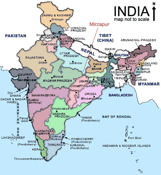
is situated in the Mirzapur district of Uttar Pradesh. Mirzapur is located between latitude 23.52º to 23.32º and longitude 82.72º to 83.33º. It is spread over an area of 4952.5 sq. km. It is surrounded by Varanasi and Sant Ravidas Nagar on the north, Allahabad on the west, and towards south east its boundaries are contiguous with Varanasi district, Sonebhadra and the state of Madhya Pradesh. The district measures 64 km from east to west and 32 km. from north to south. |
|
| [ Close ] |
|